


 >
>
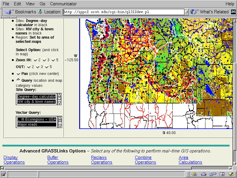
Text:
In this view of land use, starting with the 5-state level, we also see along the bottom of the screen, some of the other applications offered by the GIS interface, which are not covered in detail in this presentation. Generally, though, you can perform advanced GIS actions such as building a buffer zone around sensitive land use types, build up new maps of reclassed and combined maplayer categories (e. g. floodplains combined with sandy soils having average winter temperatures above a certain threshold), and compute areas of existing or new map categories (such as in the previous example). Such advanced GIS capabilities as these, and others (to be combined from a separately developed version of GRASSLinks) such as inputing and interpolating site data, and creating contour lines, will provide a powerful analysis tool via the web.