

 >
>
Text:
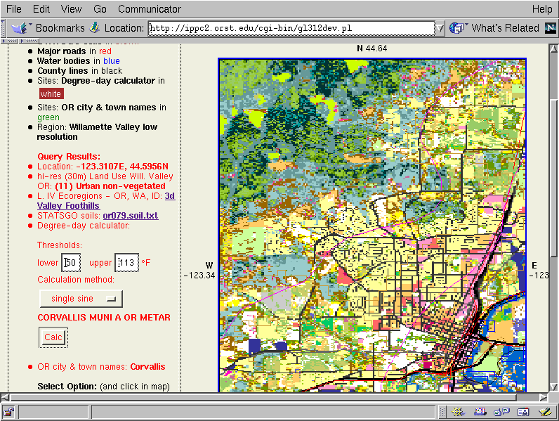
Zooming in a bit more on Corvallis, Oregon, we then query a location in the foothills of the coast range. At this zoom level, we can begin to visualize how urban, forest and cropping systems could interact in affecting dispersal of pest and beneficial arthropods throughout the landscape. These and other developing uses of GIS can help us make a more areawide approach to crop and pest management.


 >
>