


 >
>
Text:
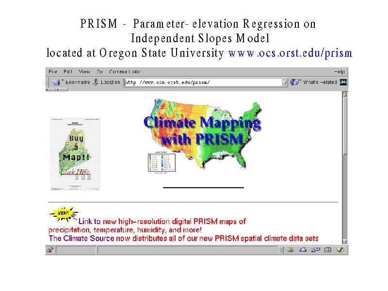
In addition, we use PRISM climate maps, developed by the Oregon Climate Service, in the form of average monthly maximum and temperature GIS data layers (4 km per cell resolution). In GRASS, we first compute average (PRISM based) degree-day maps. We then interpolate the differences between PRISM-based and actual (site) degree-days, and add the interpolated maplayer back to the PRISM degree-day maps as a correction layer. Other layers, legends, a scale bar, and titles are added to finish the maps.