OSU IPPC GRASSLinks 3.2beta: Public Access GIS

GRASSLinks is a World Wide Web interface to a geographic information system (GIS), offering public access to mapped information. GRASSLinks provides GIS display and analysis tools to facilitate data sharing and cooperation between environmental planning agencies, public action groups, citizens, and private entities. The default version of this page is gl.html which includes only the two GRASS (global and Spearfish) datasets.


  • Review the GIS data layers that can be viewed and analyzed in GRASSLINKS.
    or
  • Select any of the IPPC geodatabases listed below to begin GRASSLinks:
    Left side - full selection of available maplayers and options Right side - shortcut with mostly preselected options
    Map query interface to Mites survey project (B. A. Croft)

    Find out about homesteading mites in Oregon
    Mapsizepixels

    Degree-Day mapmaking and DD calculator access for Northwestern USA, and daily DD maps with GRASSLinks interface for ID, MT, OR, WA, and WY updated daily. See also IPPC Phenology Models Homepage
       DD Calculator Map Shortcut:
    Mapsizepixels    Region
       DD Models Map Shortcut:
    Model    Mapsizepixels    Region
    Ecoregions and IPM for Northwestern USA
    Mapsizepixels        

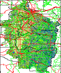
    Make a map anywhere in OR, WA, ID, MT, WY states
    Data layers include land use, ecoregions, elevation, climate data, and others.

    Willamette Valley, Oregon Land Use 30m
    (with county lines, major roads, water bodies, cities
    and towns, and degree-day calculator)
    Mapsizepixels        

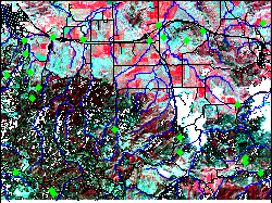
    Western Region IPM Cutworm Survey and Risk Warning
    see MSU's cutworm.org for more information about the program
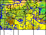
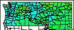
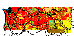
    Daily updated maps - click map on left for GRASSLinks selection of all available data and below for single factor risk maps:
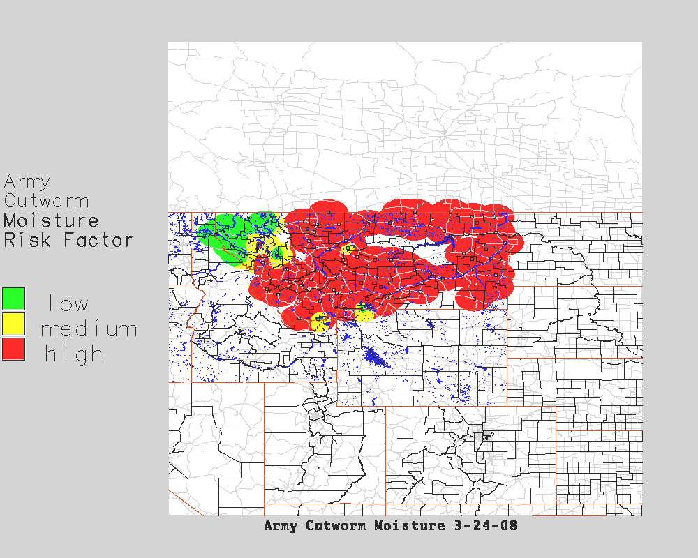
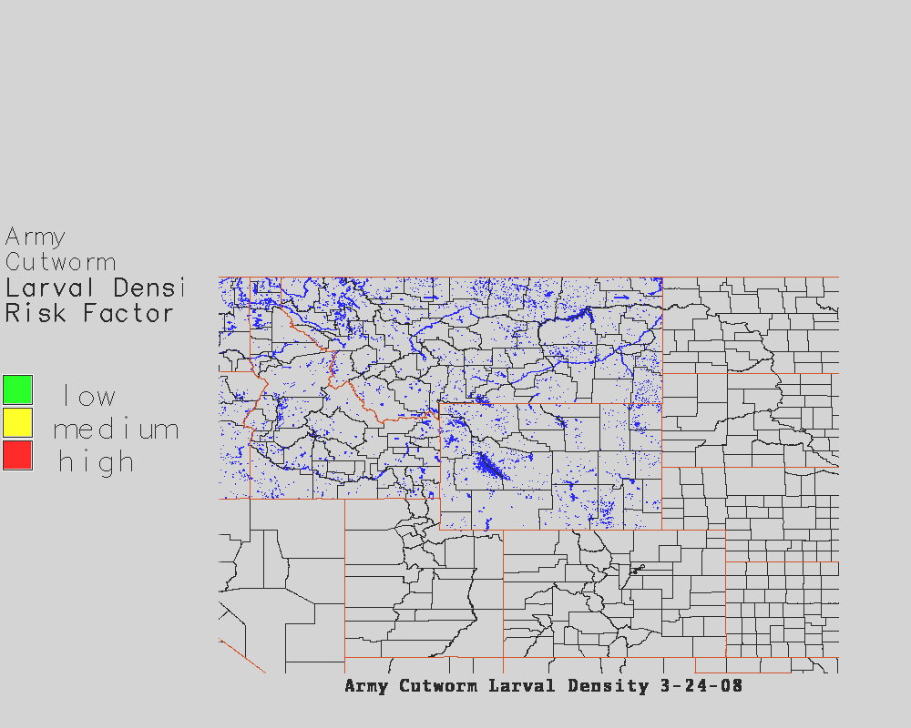
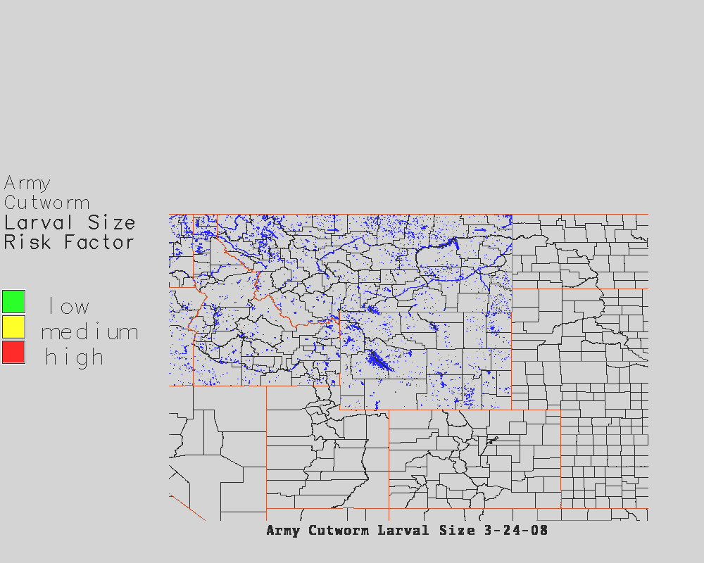
    army degree-days, moisture, larval density, larval size, moth counts, combined risk warning,
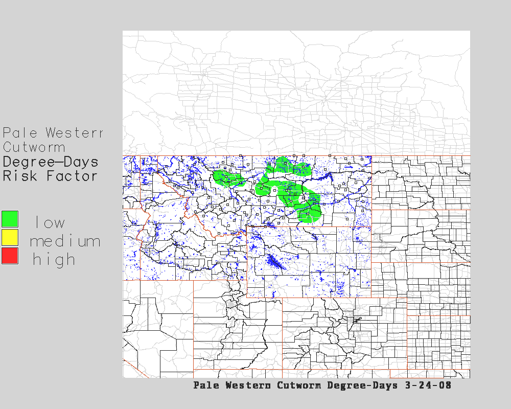
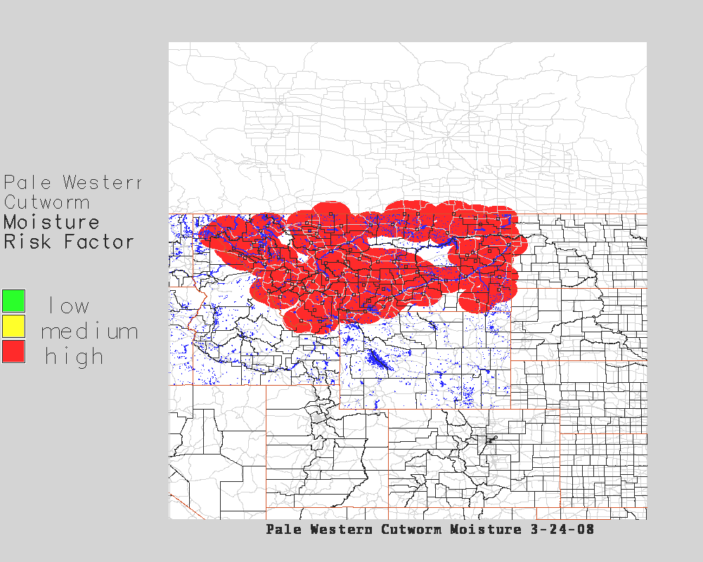
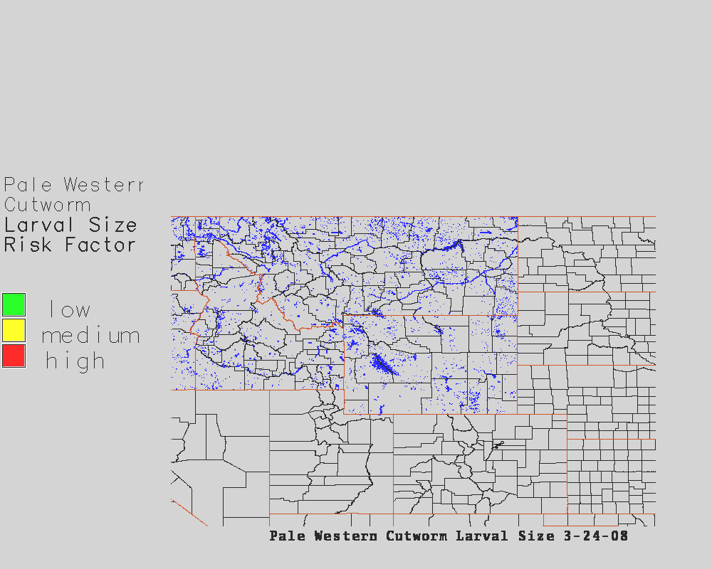
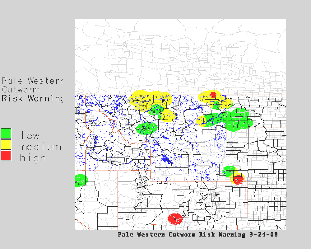
    pale western degree-days, moisture, larval density, larval size, moth counts (large version of map on left, combined risk warning;

    GRASSLinks Interface to interactive maps of all risk factors and combined risk warning:
    Select species and factor, mapsize and "GO"
    Species and Risk Factor
    Overlay Mapsizepixels        

    GRASS Global dataset
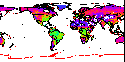
    (a small default global dataset for getting familiar with GRASS)
    Mapsizepixels        
    GRASS Spearfish dataset
    (a default dataset for getting familiar with GRASS)
    Mapsizepixels        

    DOWNLOAD latest version (new fast install script by Roman): glinks_3.2beta3.tar.gz

    NOTE: read INSTALL for "QUICK" install docs; not fully tested with GRASS latest versions (grass5.0pre5 is latest fully tested version)

    You may also wish to DOWNLOAD preconfigured spearfish.tar.gz and global.tar.gz GRASS databases

    GRASSLinks was originally developed by Dr. Susan Huse at the Research Program in Environmental Planning and GIS (REGIS), at the University of California, Berkeley. GRASSLinks is based on the Open Source GIS software GRASS, orig. from the US Army Corps of Engineers.


    Disclaimer: Use of GRASSLinks and the data accessed by it is provided as-is without any guarantees of quality, completeness, currentness, or performance. For more information, see the GRASSLinks (c) Copyright and Disclaimer.


    Visit REGIS at the University of California, Berkeley
  • Also visit GRASSLINKS at Osaka Univ.
  • Send us your comments or suggestions about GRASSLinks